Luigi Ferdinando Marsigli and the Mappa Metallographica: Graphic Creativity and Scientific Measurement
DOI:
https://doi.org/10.26375/disegno.7.2020.04Abstract
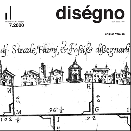
The Mappa Metallographica (45.5 x 70.5 cm) is part of La Hongrie et le Danube, a collection of twenty-seven cartographic tables drafted over a period of fifteen years to illustrate the orography, hydrography and metallurgy of the Hungarian stretch of the Danube [1]. (read more)References
Ceregato, A. (2015). Luigi Ferdinando Marsili: militare, diplomatico e scienziato al servizio dell’imperatore e di sé stesso e il suo contributo all’approfondimento delle conoscenze dell’assetto fisico del territorio tra l’Adriatico e il basso Danubio. Le collezioni cartografiche dell’Istituto di Scienze Marine del CNR. In G. Arbore-Popescu, C. Dabalà (Eds.). The cartography of the Danube and the surrounding areas in and after the times of Vincenzo Maria Coronelli and Luigi Ferdinando Marsili. International Study Conference Venice and Eastern Europe from the late Middle Ages to the Modern Age. Venice 23-24 April 2015, pp. 55-63 (bibliography pp. 91-92). Venezia: Corilia.
Deák AA (2004). Discovery of the Danube. Budapest: Ministry of Environent and Water Management.
Deák, A.A. (2006). Maps from under the shadow of the crescent moon. Esztergom: Duna Múzeum [CD with the attached cartographic documentation].
Deák, A.A. (2014). The Mineral Maps of L. F. Marsigli and the Mystery of a Mine Map. In E. Liebenberg, P. Collier, Z. Török (Eds). History of Cartography. Lecture Notes 91 in Geoinformation and Cartography, pp. 91-110. Berlin, Heidelberg: Springer-Verlag. DOI: 10.1007/978-3-642-33317-0_6. [First online 2013].
Edney, M.H. (1993). Cartography without ‘Progress’: Reinterpreting the Nature and Historical Development of Mapmaking. In Cartographica. The International Journal for Geographic Information and Geovisualization, vol. 30, nos. 2,3, pp. 54-68.
Kish, G., & Buache, P. (1976). Early Thematic Mapping: The Work of Philippe Buache. In Imago Mundi, 28, pp. 129-136. <http://www.jstor.org/stable/1150630> (accessed 2020, November 7).
Marsigli, L.F. (1726). Danubius Pannonico-Mysicus. Observationibus geographicis, astronomicis, hydrographicis, historicis, physicis perslustratus Et in sex Tomos digestus ab Aloysio Ferd. Com. Marsili Socio Regiarum Societatum Parisiensis, Londinensis Monspeliensis. Hagæ Comitum: Apud P. Gosse, R Chr. Alberts, P. de Hondt; Amsteldami: Apud Uytwerf & Franç. Chauguion.
Olmi, G. (2000). L’illustrazione naturalistica nelle opere di Luigi Ferdinando Marsigli. In G. Olmi, L. Tongiorgi Tomasi, A. Zanca (a cura di). In Natura-Cultura. L’interpretazione del mondo fisico nei testi e nelle immagini, pp. 255-303. Florence: Olschki.
Török, Z. (2012). Luigi Ferdinando Marsigli (1658-1730) and Early Thematic Mapping in the History of Cartography. <http://lazarus.elte.hu/hun/digkonyv/sc/sc13/52zsolt_torok.pdf> (accessed 2020, November 6).
Downloads
Published
How to Cite
Issue
Section
License
Copyright (c) 2021 diségno

This work is licensed under a Creative Commons Attribution 4.0 International License.